
Fichier:Cape Matapan.PNG

Taille de cet aperçu : 680 × 600 pixels. Autres résolutions : 272 × 240 pixels | 544 × 480 pixels | 871 × 768 pixels | 1 197 × 1 056 pixels.
Fichier d’origine (1 197 × 1 056 pixels, taille du fichier : 212 Kio, type MIME : image/png)
| Ce fichier et sa description proviennent de Wikimedia Commons. | Accéder au fichier sur Commons |
Description
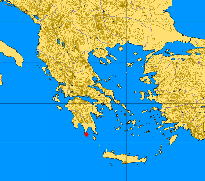
| Description | Greece map with Cape Matapan highlighted (the original Greece map used for it come from Commons :Image:Greece 34 43 17 30 blank map.png) |
| Date | |
| Source | Travail personnel |
| Auteur | TCY |
Conditions d’utilisation
| Moi, propriétaire des droits d’auteur sur cette œuvre, la place dans le domaine public. Ceci s'applique dans le monde entier. Dans certains pays, ceci peut ne pas être possible ; dans ce cas : J’accorde à toute personne le droit d’utiliser cette œuvre dans n’importe quel but, sans aucune condition, sauf celles requises par la loi. |
Historique du fichier
Cliquer sur une date et heure pour voir le fichier tel qu'il était à ce moment-là.
| Date et heure | Vignette | Dimensions | Utilisateur | Commentaire | |
|---|---|---|---|---|---|
| actuel | 3 mars 2008 à 13:49 | | 1 197 × 1 056 (212 Kio) | TCY | == Summary == {{Information |Description=Greece map with Cape Matapan highlighted (the original Greece map used for it come from Commons :Image:Greece 34 43 17 30 blank map.png) |Source=self-made |Date=March 2007 |Author= [[User: |
| 3 mars 2008 à 13:37 |  | 1 197 × 1 056 (212 Kio) | TCY | {{Information |Description=Greece Map with Cape Matapan highlighted (the original map uploaded from Commons (Image:Greece 34 43 17 30 blank map.png) |Source=self-made |Date=March 2007 |Author= TCY |Permission= |other_vers |
Utilisation du fichier
Les 2 pages suivantes utilisent ce fichier :
Usage global du fichier
Les autres wikis suivants utilisent ce fichier :
- Utilisation sur ca.wikipedia.org
- Utilisation sur el.wikipedia.org
- Utilisation sur en.wikipedia.org
- Utilisation sur fi.wikipedia.org
- Utilisation sur he.wikipedia.org
- Utilisation sur id.wikipedia.org
- Utilisation sur ja.wikipedia.org
- Utilisation sur la.wikipedia.org
- Utilisation sur lfn.wikipedia.org
- Utilisation sur no.wikipedia.org
- Utilisation sur pt.wikipedia.org
- Utilisation sur sh.wikipedia.org
- Utilisation sur sv.wikipedia.org
- Utilisation sur tr.wikipedia.org