
Fichier:Barents Sea map hr.svg

Taille de cet aperçu PNG pour ce fichier SVG : 512 × 466 pixels. Autres résolutions : 264 × 240 pixels | 527 × 480 pixels | 844 × 768 pixels | 1 125 × 1 024 pixels | 2 250 × 2 048 pixels.
Fichier d’origine (Fichier SVG, nominalement de 512 × 466 pixels, taille : 375 Kio)
| Ce fichier et sa description proviennent de Wikimedia Commons. | Accéder au fichier sur Commons |
Description
| Description |
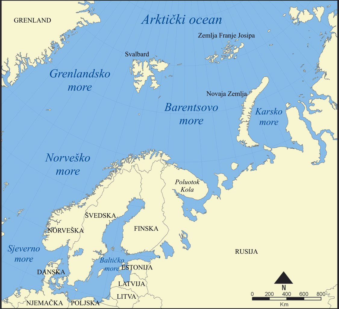
Hrvatski: Barentsovo more |
||
| Date | |||
| Source | Travail personnel basé sur : Barents Sea map.png | ||
| Auteur |
Vecteur : |
||
| Autres versions |
[]
|
||
| SVG information |
|


Conditions d’utilisation
Moi, en tant que détenteur des droits d’auteur sur cette œuvre, je la publie sous les licences suivantes :
Ce fichier est disponible selon les termes de la licence Creative Commons Attribution – Partage dans les Mêmes Conditions 3.0 Non Transposé.
- Vous êtes libre :
- de partager – de copier, distribuer et transmettre cette œuvre
- d’adapter – de modifier cette œuvre
- Sous les conditions suivantes :
- paternité – Vous devez donner les informations appropriées concernant l'auteur, fournir un lien vers la licence et indiquer si des modifications ont été faites. Vous pouvez faire cela par tout moyen raisonnable, mais en aucune façon suggérant que l’auteur vous soutient ou approuve l’utilisation que vous en faites.
- partage à l’identique – Si vous modifiez, transformez ou vous basez sur cet élément, vous devez distribuer votre contribution sous une license identique ou compatible à celle de l’original.

|
Vous avez la permission de copier, distribuer et modifier ce document selon les termes de la GNU Free Documentation License version 1.2 ou toute version ultérieure publiée par la Free Software Foundation, sans sections inaltérables, sans texte de première page de couverture et sans texte de dernière page de couverture. Un exemplaire de la licence est inclus dans la section intitulée GNU Free Documentation License. |
Vous pouvez choisir l’une de ces licences.
Historique du fichier
Cliquer sur une date et heure pour voir le fichier tel qu'il était à ce moment-là.
| Date et heure | Vignette | Dimensions | Utilisateur | Commentaire | |
|---|---|---|---|---|---|
| actuel | 5 mai 2018 à 19:58 | | 512 × 466 (375 Kio) | JoKalliauer | try to solve https://phabricator.wikimedia.org/T193929 |
| 5 mai 2018 à 11:58 |  | 1 006 × 921 (375 Kio) | JoKalliauer | made file valid, but could not solve the librsvgbug | |
| 13 février 2012 à 17:09 |  | 1 006 × 921 (488 Kio) | MaGa | Reverted to version as of 12:31, 13 February 2012 | |
| 13 février 2012 à 17:08 |  | 1 006 × 921 (479 Kio) | MaGa | Let's try again... | |
| 13 février 2012 à 12:31 |  | 1 006 × 921 (488 Kio) | MaGa | Display error correction | |
| 13 février 2012 à 12:25 |  | 1 006 × 921 (488 Kio) | MaGa | Kola Peninsula added | |
| 13 février 2012 à 12:20 |  | 1 006 × 921 (475 Kio) | MaGa | {{Information |Description={{hr|Barentsovo more}} |Source=*File:Barents Sea map.png |Date=13. veljače 2012. |Author=*Norwegian Sea map.png: NormanEinstein *[[User:MaGa|<font color="Grey">'''Ma''' |
Utilisation du fichier
Aucune page n’utilise ce fichier.
Usage global du fichier
Les autres wikis suivants utilisent ce fichier :
- Utilisation sur hr.wikipedia.org
- Utilisation sur sh.wikipedia.org
- Utilisation sur sr.wikipedia.org